

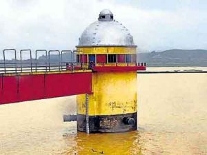
| Water level monitoring for reservoirs supplying Ranchi and their fluctuations |
|
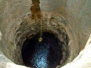
| Groundwater contamination assessment in regions of Garhwa | Predicted groundwater levels using Satellite Data combined with spatial features in ML models for visualization and mapping. |
| Impact of climate on natural vegetation |
|
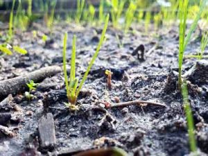
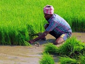
| Agricultural land suitability & vulnerability for farming areas | Includes time-series data such as meteorological variables (temperature, rainfall, humidity) and crop production details (crop types, yield, growth stages) gathered over different periods to understand climatic impacts on agriculture. (Work in Progress) |
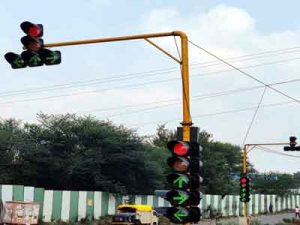
| Traffic network monitoring system for Ranchi | Development and Training of a Haar-Cascade Classifier for Vehicle Detection Utilizing Traffic Scene Images from the DATAS 2022 (India) Dataset. (Work in Progress) |
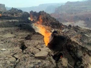
| Underground fire and its spread in the Jharia area of Dhanbad district | Analysis of Land Surface Temperature using LANDSAT thermal imagery for disaster risk zoning and identification of vulnerable hotspots. (Work in Progress) |
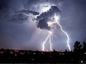
| Thunderstorm and lighting prediction in the area of Singhbhum | Analyzed Lightening Imaging Sensor data (2017–2022) using Machine Learning for spatial zoning. Temporal Analysis: Categorized lightning events into time slots to identify high-risk districts and patterns. |
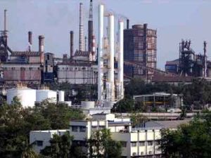
| The correlation of physical parameters like temperature, humidity, etc. in the factory areas of Jamshedpur. |
|